Watershed Geology Lab
Curricula
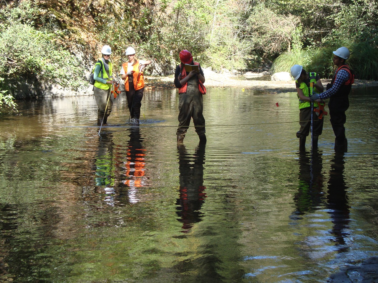
The Watershed Systems Concentration at CSUMB includes field experience measuring and analyzing watersheds. Skill sets include regional geologic interpretation, surface water hydrology, sediment transport analysis, basic and advanced surveying techniques applied to stream, hill slope, and coastline monitoring. The skills can be applied to a number of resource areas, including physical and hydrologic watershed assessments. Courses sometimes use wireless technology to create unique outdoor classroom experiences where digital pictures, rasters, and data can be created, manipulated, and shared from a battery powered wireless hub.

Students receive training in Ecology, Statistics, Economics, Water Law, Restoration, Monitoring, Assessment, Remote Sensing, and GIS/GPS technology. Students hone those skills in classwork, self-designed course projects, and a capstone thesis project that integrates and culminates the undergraduate experience. We also maintain an Emriver 2 for use in our coursework related to riverine surface processes and for community outreach demonstrations.