Geospatial Resources
Services
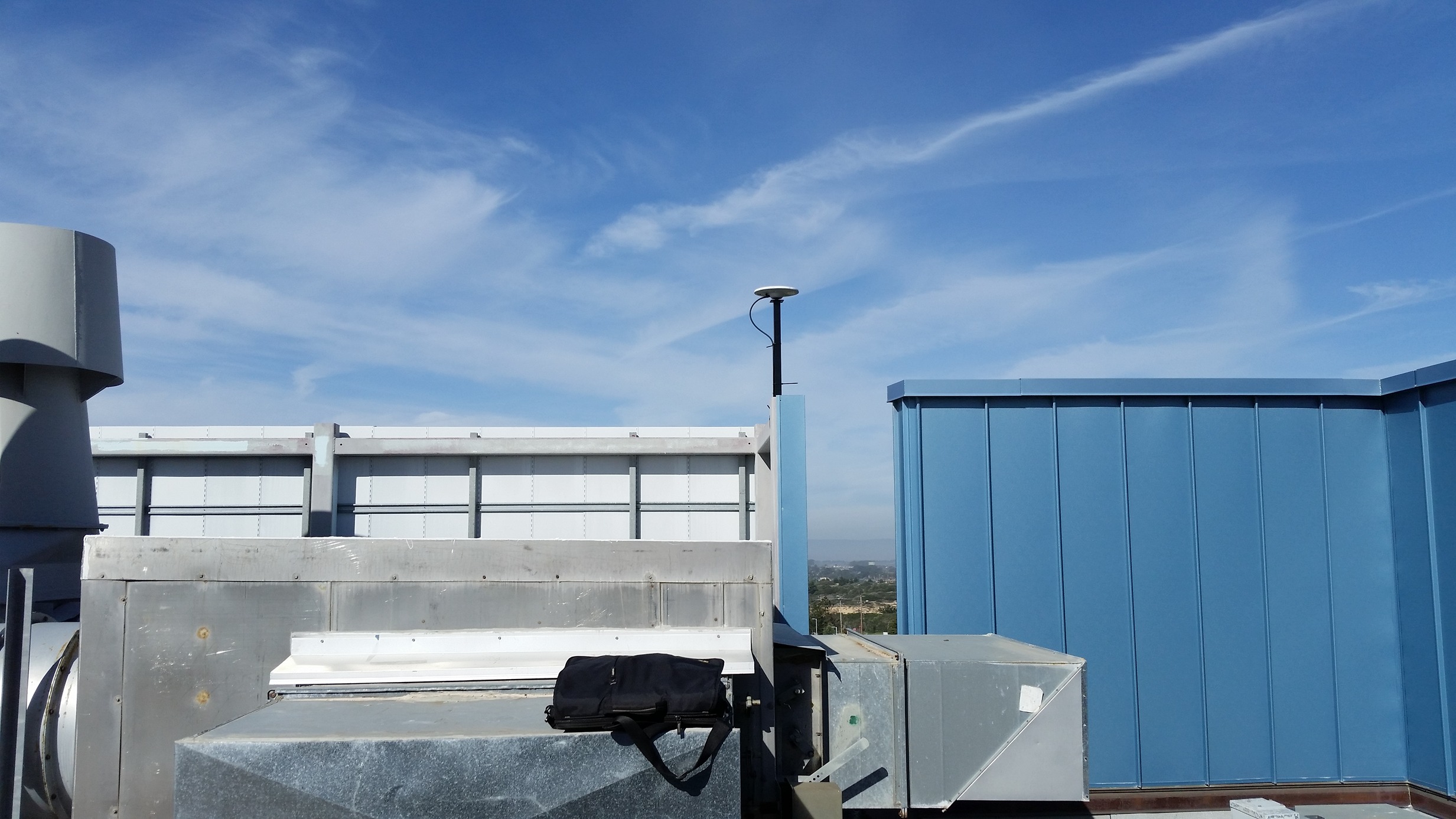
CSUMB's GNSS Base Station provides RTK-quality differential correction data for realtime and post-processing applications. Located in the Chapman Science Academic Center (SAC), the GPS Base Station can be accessed online from anywhere, on- or off-campus.
CSUMB Reference Station
Location: California State University, Monterey Bay, Seaside, CA
GPS receiver: Trimble Alloy
Logging interval: 1 s
Position: 36° 39' 12.93855" N, 121° 47' 38.26100" W
Antenna Reference Point (ARP) height: 54.041 m
Elevation Mask: 0 °
Datum: NAD_83(2011)(EPOCH:2010.0000)
Note: The above NAD_83 coordinates valid starting November 3, 2016.
Reference station coordinates prior to 2016/11/03: Position: 36° 39' 12.95600" N, 121° 47' 38.32510" W Antenna Reference Point (ARP) height: 53.486 m Elevation Mask: 0 ° Type: CenterPoint RTX Datum: ITRF2008(current)
Logged CSUMB GPS Base Station data can be accessed using the Differential Correction Wizard within Trimble GPS Pathfinder Office software, as CSUMB is in the Trimble Data Provider Database. To manually choose and download base station data files for use in other applications, click the button below. For more information, please contact gis@csumb.edu.