California Undersea Imagery Archive
CUIA Inventory
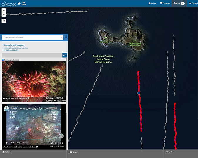
Online Interactive Map
The CUIA Interactive Map is intended to provide examples of video transects (forward-facing camera angle) showing general visibility and lighting conditions, common habitat in the region, and species encountered during collection. Video transects cannot be downloaded directly from the map, but are obtained through the Request Form.

Transect Video
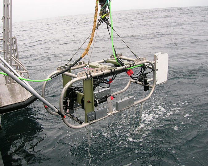
Here you will find video from a variety of platforms (including remotely operated vehicles (ROV), camera sled, and human-occupied submersible (HOV). Summary tables list the location and original media (prior to digitization), as well as any marine protected area (MPA) visited, for transects collected along the California coast, some of which is highlighted in the Interactive Map. There is no direct download option from these listings - please submit a Request Form or contact the CUIA Archivist, cuia@csumb.edu.

Diver-operated Video
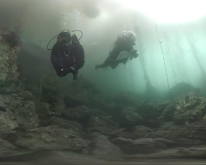
Video collected by SCUBA divers using a variety of camera systems, including stereoscopic cameras, 360 degree virtual reality cameras, and solitary GoPro cameras, can be found in this section. Summary tables list the location,camera system, as well as any marine protected area (MPA) visited, for transects collected along the California coast. There is no direct download from these listings. Some video is available via a link to the CUIA YouTube channel, while other types are available upon request - please submit a Request Form or contact the CUIA Archivist, cuia@csumb.edu.

HD Still Images
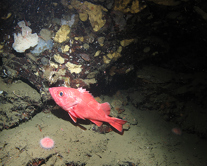
High-definition cameras collected still images (forward and down-facing orientation) at points along the Transect Video - highlighting representative or unique biota within the surveyed areas. The location of (a subset of) available HD imagery is listed in the table, as well as a download option for copies of the photo collection.
