Research Diving Program
Underwater Faculty Research
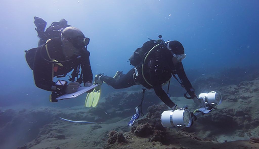
Photo by: James Lindholm
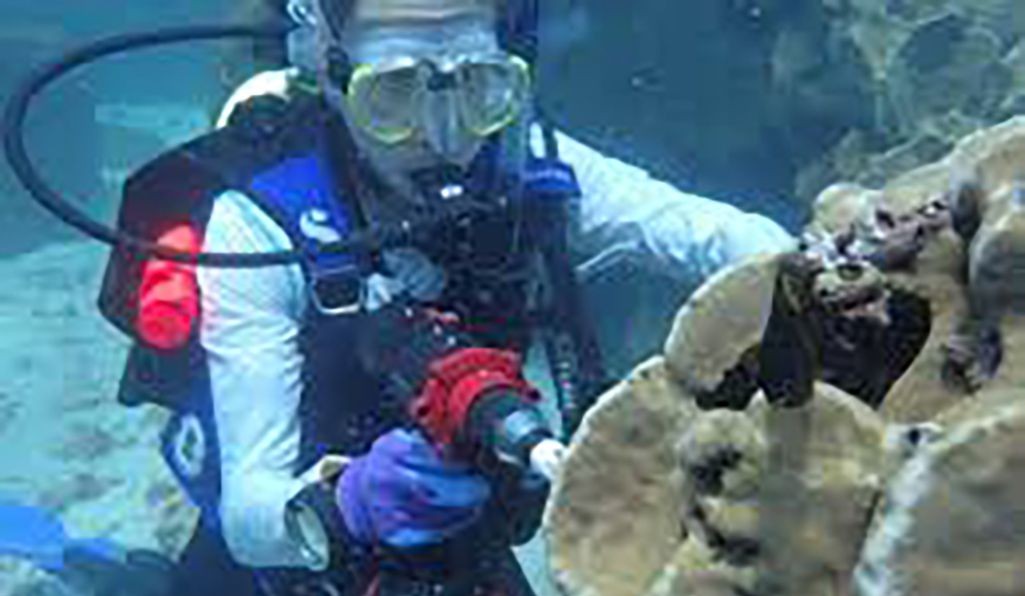
Photo by: Cheryl Logan
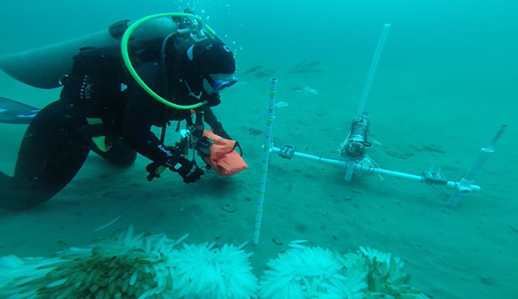
Photo by: Steve Moore
| Faculty | Projects (with diving) | Summary |
|---|---|---|
| Cheryl Logan | Galápagos Corals: Canaries in the Coal Mine | The Galápagos islands represents a good case study for understanding the future of coral reefs, given its extended history of bleaching and mass die-off. Yet some Galápagos corals have persevered and may be uniquely thermally resistant. Coral thermal tolerance was surveyed across the archipelago for the first time using a portable coral bleaching autonomous stress system, targeting location where recovery has been strongest. |
| James Lindholm | Landscape Ecology of Fishes on Deep Walls and Reefs | Surveys of the "lost reefs" between 20-40 m water depth, an understudied zone between standard SCUBA_based surveys and deeper ROV/camera sled/submersible surveys. The study couples diver-held stereo video (DOV) with traditional underwater visual census (UVC) techniques to sample fishes and invertebrates using shore-based SCUBA operations. |
| Immersion! VR (CUIA) | Immersion VR videos provide a virtual diving experience in the coastal waters of California's marine protected areas (MPAs) through a smart phone, computer or VR headset. https://csumb.edu/undersea/immersive-vr-videos | |
| Landscape Ecology of Nearshore Biological Communities Along the California Coast | Video-based Diver Transects to Spatial Modeling. Projects analyze changes in abundance, diversity, and species composition with latitude. On-going efforts include fine-scale analyses of patterns in fish-habitat interactions within and among sites as well as inside and out of State Marine Protected Area, and spatial modeling resulting from the combination of observational data and the high-resolution topographic maps produced by the California Seafloor Mapping Project (CSMP). | |
| Anthropocene Research Award in Marine Conservation | Project provides undergraduate marine science majors who are also research divers funding to prepare for careers related to marine conservation and management. |